

Saudi Arabia takes part in UN geospatial information experts meeting in New York
Saudi Arabia showcased its geospatial sector progress and international cooperation at the 16th UN-GGIM experts meeting in New York.
Key Takeaways
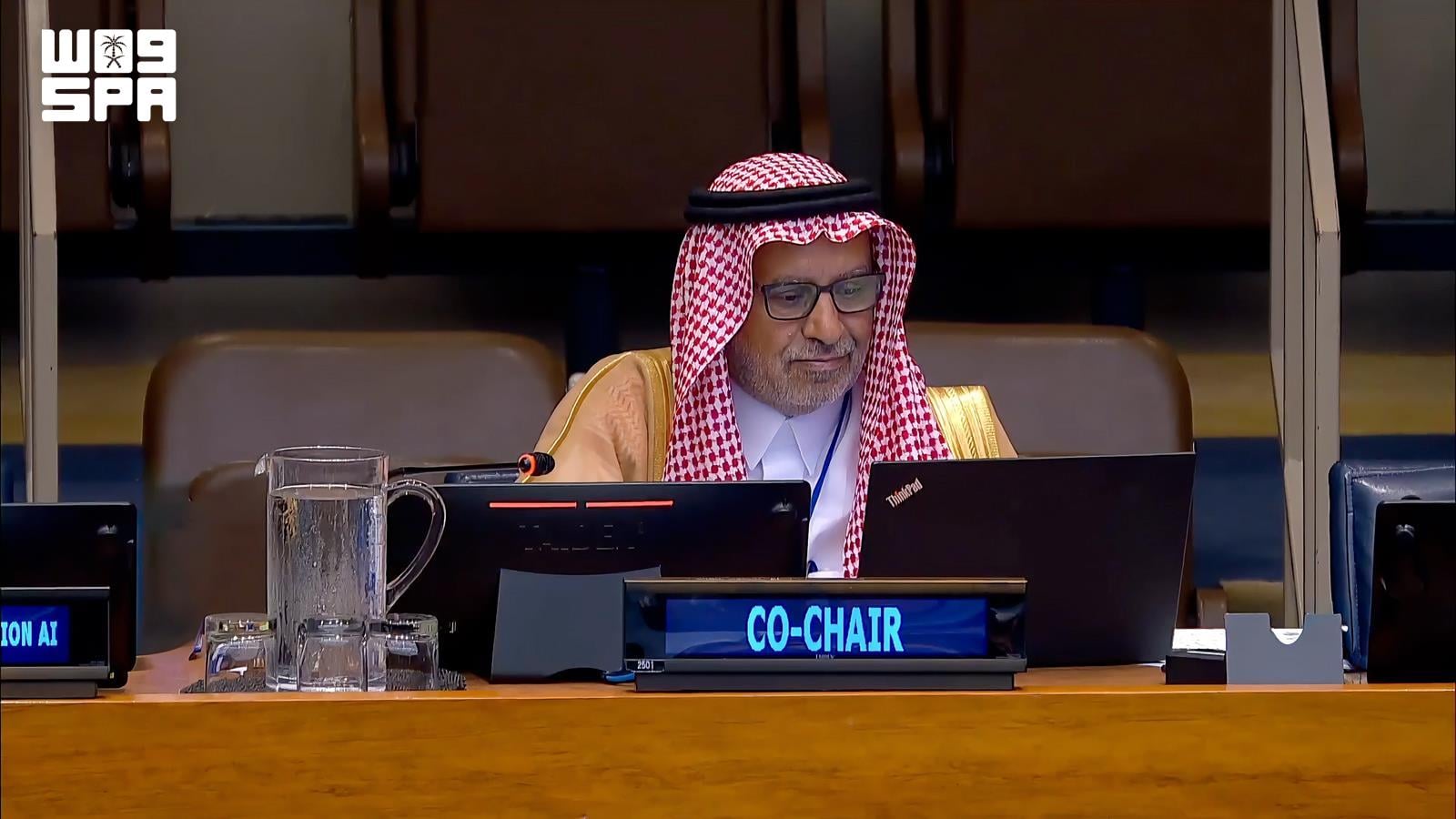
AISaudi Arabia, represented by the General Authority for Survey and Geospatial Information, participated in the 16th session of the United Nations Committee of Experts on Global Geospatial Information Management (UN-GGIM), held at the UN headquarters in New York. The event was attended by representatives from member states, international organizations, and relevant entities.
The Saudi delegation was led by Dr. Mohammed bin Yahya Al Sayel, President of the Authority, who emphasized the importance of strengthening international cooperation and developing an integrated system for geospatial information management. He highlighted the role of modern technologies and artificial intelligence in supporting sustainable development and informed decision-making.
Saudi Arabia presented its efforts to implement the United Nations Integrated Geospatial Information Framework (UN-IGIF), as well as its work on developing policies, regulatory frameworks, and national standards for geospatial data. These initiatives aim to enhance data quality, integration, interoperability, and efficient data exchange.
National and regional efforts in geospatial information development
The Saudi delegation addressed future topics in geospatial information management, including the integration of geospatial and statistical data, land administration, marine and hydrographic information, and the global geodetic reference framework. The discussion also covered the use of artificial intelligence, digital twins, and cloud computing to advance the sector.
Saudi Arabia reaffirmed its support for the global geodetic reference framework, highlighting its contribution to the Arab Geodetic Reference Frame initiative (ARABREF) and its efforts to develop geodetic infrastructure and build capacity at both regional and international levels.
Developing geographic names databases and the Geospatial Center of Excellence
In the field of geographic names, Saudi Arabia stressed the importance of standardizing and preserving them as key elements of national and cultural identity. The Kingdom is working to develop geographic names databases and leverage modern technologies for their management, ensuring cultural and linguistic integrity and supporting data sovereignty.
Saudi Arabia also reviewed the latest developments on establishing the United Nations Geospatial Center of Excellence (Ecosystem) in Riyadh, which will serve as a platform for innovation, knowledge exchange, and technical support for member states, complementing the UN geospatial centers in Bonn, Germany, and Deqing, China.
Hosting the UN World Geospatial Information Congress
At the conclusion of the meeting, the President of the Authority invited member states and participants to attend the third United Nations World Geospatial Information Congress (UNWGIC 2026), which Saudi Arabia will host in Jeddah from November 16 to 19 next year, noting that preparations are proceeding according to plan.