

High temperatures and strong winds forecast for several regions on Tuesday
The National Center for Meteorology expects high temperatures, active winds, and thunderclouds across parts of Saudi Arabia on Tuesday.
Key Takeaways
AIThe National Center for Meteorology, in its weather report for Tuesday, forecast that maximum temperatures will remain high in the Eastern Province and parts of Riyadh, Madinah, and Makkah regions.
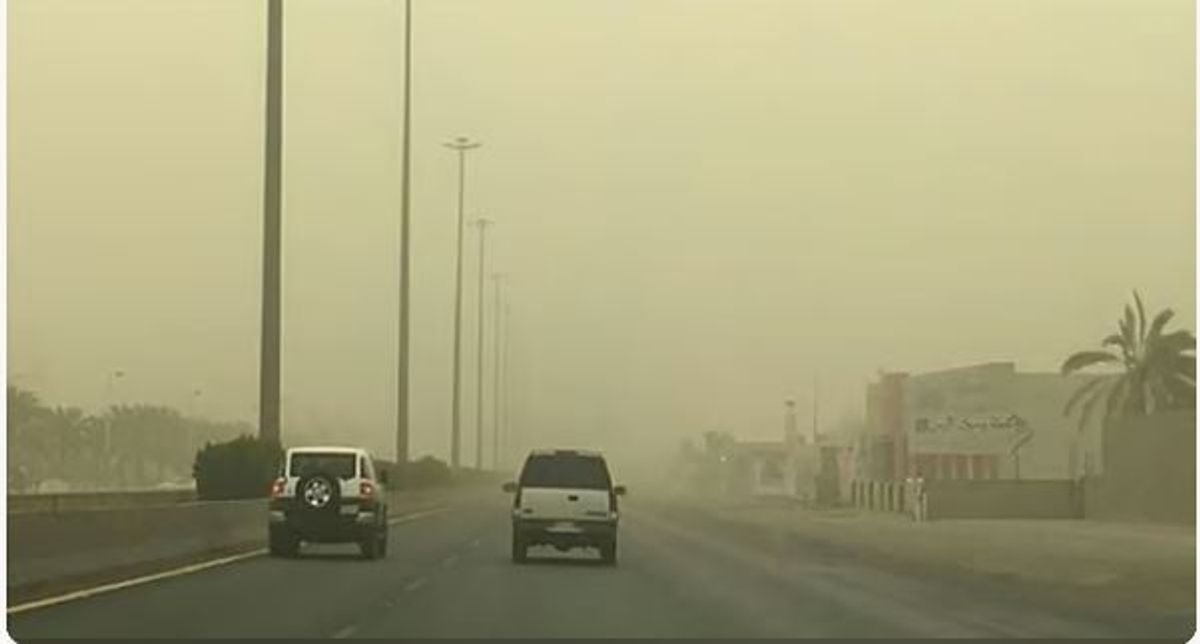
The center added that active winds raising dust and sand will continue to affect parts of these regions, as well as areas in the Northern Borders, Al-Jouf, Tabuk, Hail, and Qassim. There is also a continued chance of rain-bearing thunderclouds forming over the highlands of the western and southwestern regions, as well as parts of Najran.
The report noted that surface winds over the Red Sea will be northwesterly to westerly at 12–34 km/h in the northern and central parts, reaching up to 45 km/h in the central part, and southwesterly to northwesterly at 15–32 km/h, reaching up to 50 km/h with thunderclouds in the southern part. Wave heights will range from half a meter to 1.5 meters in the northern and southern parts, and from 1 to 2 meters in the central part, exceeding 2 meters with thunderclouds in the south. The sea state will be light to moderate, becoming rough with thunderclouds in the southern section.
Winds over the Arabian Gulf will be southeasterly to easterly at 15–30 km/h in the northern and central parts, and southeasterly to northeasterly at 10–28 km/h in the southern part. Wave heights will range from half a meter to one meter, with the sea state remaining light.